Heavy rain and high winds are possible across the region today as the remnants of Hurricane Newton cross into Arizona.
On Tuesday, the National Weather Service issued a flash flood watch and a wind advisory for most of Southern Arizona, including the Tucson area.
Rain totals of 1 to 4 inches are expected in places. Sustained winds of 25 to 35 mph are possible in valley locations, with speeds 5 mph higher in the mountains.
Strongest winds are expected along the international border, where the hurricane’s main front is expected to arrive early Wednesday morning, the Weather Service said.
Newton was at hurricane force Tuesday morning when it blasted through the tourist meccas of Los Cabos at the tip of Baja California and proceeded north up the Gulf of California for an expected second landfall in southern Sonora.
Heavy rains associated with the storm caused flooding in Michoacan and Guerrero states Monday, according to The Associated Press. In its passage through Baja, it downed trees, knocked out power and drenched the southern tip of the peninsula with a foot of rain and 90 mph winds, the AP reported.
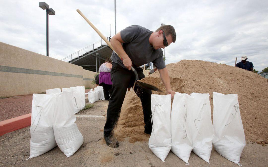
In Tucson on Tuesday, the city distributed sandbags to residents in flood-prone areas and weather forecasters warned that today could bring flash floods and high winds.
That all depends on the track the hurricane takes, forecasters said.
“Only a 50-mile difference between locations can mean the difference between a half inch and 2-4 inches,” Leuthold reported in his forecast discussion Tuesday afternoon.
“What does seem certain is that some locations in southeastern Arizona are going to get a lot of wind and rain tomorrow.”
He said he expected the hurricane to veer a bit east, losing wind speed over the mountains of Northern Mexico. If it stays west of those mountains, it could enter Arizona with sustained winds up to 50 mph, he said.
Rain was falling in Santa Cruz County on Tuesday afternoon and headed toward Tucson, said Mick Sherwood of the National Weather Service office in Tucson.
A flood advisory was issued as more than an inch of rain fell in the border region.
Those thunderstorms sprung from moisture pushed northward by the hurricane.
Rain is expected to continue into Wednesday evening, with clearing Thursday.
Source:


