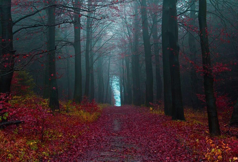
The Black Forest is a large forested mountain range in the state of Baden-Württemberg in southwestern Germany. The natural regions of the Black Forest are separated by various features:
Geomorphologically, the main division is between the gentle eastern slopes with their mostly rounded hills and broad plateaux (so-called Danubian relief, especially prominent in the north and east on the Bunter Sandstone) and the deeply incised, steeply falling terrain in the west that drops into the Upper Rhine Graben; the so-called Valley Black Forest (Talschwarzwald) with its Rhenanian relief. It is here, in the west, where the highest mountains and the greatest local differences in height (of up to 1000 metres) are found. The valleys are often narrow and ravine-like; but rarely basin-shaped. The summits are rounded and there are also the remnants of plateaux and arête-like landforms.
Geologically the clearest division is also between east and west. Large areas of the eastern Black Forest, the lowest layer of the South German Scarplands composed of Bunter Sandstone, are covered by seemingly endless coniferous forest with their island clearings. The exposed basement in the west, predominantly made up of metamorphic rocks and granites, was, despite its rugged topography, easier to settle and appears much more open and inviting today with its varied meadow valleys.
The Feldberg, the highest mountain in the Black Forests, southeast ofFreiburg
The most common way of dividing the regions of the Black Forest is, however, from north to south. Until the 1930s, the Black Forest was divided into the Northern and Southern Black Forest, the boundary being the line of the Kinzig valley. Later the Black Forest was divided into the heavily forested Northern Black Forest, the lower, central section, predominantly used for agriculture in the valleys, was the Middle Black Forest and the much higherSouthern Black Forest with its distinctive highland economy and ice age glacial relief. The term High Black Forest referred to the highest areas of the South and southern Middle Black Forest.
The boundaries drawn were, however, quite varied. In 1931, Robert Gradmann called the Middle Black Forest the catchment area of the Kinzig and in the west the section up to the lower Elz and Kinzig tributary of theGutach. A pragmatic division, which is oriented not just on natural and cultural regions, uses the most important transverse valleys. Based on that, the Middle Black Forest is bounded by the Kinzig in the north and der line from Dreisam to Gutach in the south, corresponding to the Bonndorf Graben zone and the course of the present day B 31.
In 1959, Rudolf Metz combined the earlier divisions and proposed a modified tripartite division himself, which combined natural and cultural regional approaches and was widely used. His Middle Black Forest is bounded in the north by the watershed between the Acher and Rench and subsequently between the Murg and Kinzig or Forbach and Kinzig, in the south by the Bonndorf Graben zone, which restricts the Black Forest in the east as does the Freudenstadt Graben further north by its transition into the Northern Black Forest.


